
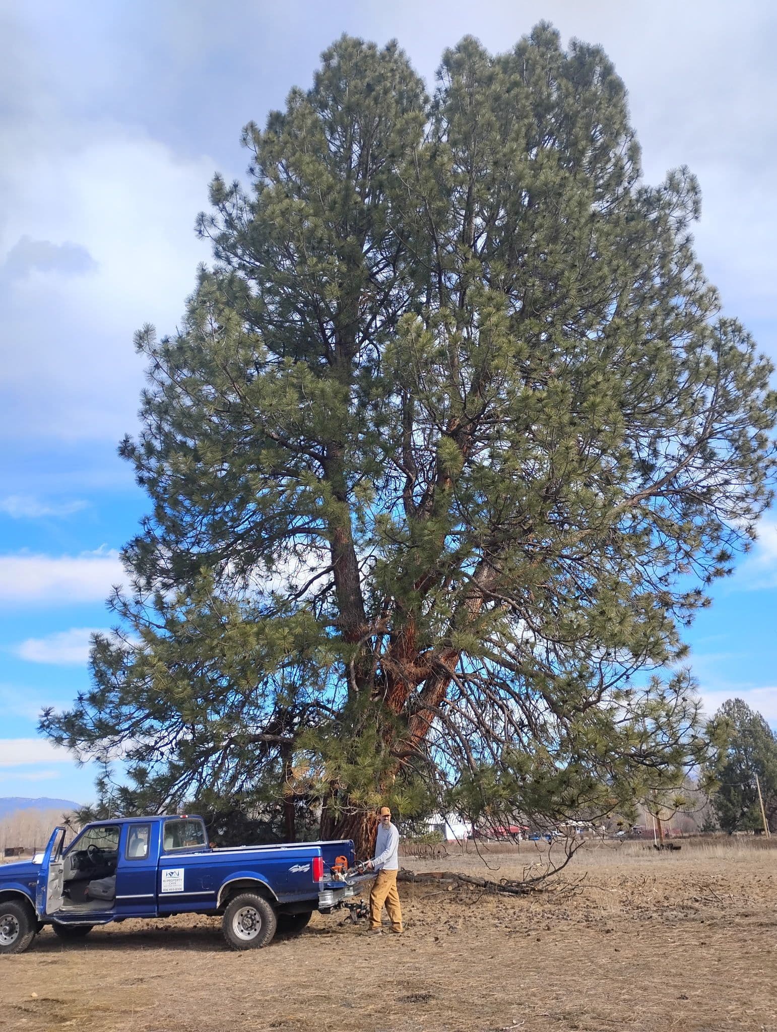
Fire mitigation in the Bitterroot Valley, MT
Reviewed by Justin Johnson, ISA Certified Arborist (RM-8889A)
The Bitterroot Valley is a strip of private land along the river surrounded by national forest. Ravalli County's 2024 wildfire protection plan says about 73.6 percent of the county is federal land and 23.9 percent private, with most people living on the valley floor along Highway 93. That layout is why almost every property in the valley is treated as wildland-urban interface. This page explains the valley-wide picture; our town pages cover each community. It is part of our [Montana Wildfire Guide](/montana-wildfire-guide).
How much of the Bitterroot Valley counts as wildland-urban interface?
Nearly all of the inhabited part. Ravalli County built its WUI from several layers. Every structure with an address gets a one-mile buffer. Primary, secondary and evacuation roads, critical infrastructure and utilities get one-mile buffers too. Hay, pasture, crop ground, grass, shrubland and forest all count as wildland fuel. The plan also adds small gaps inside the boundary if they are under eight square miles, so the WUI reads as one continuous area.
The plan also uses a Forest Service fire simulation for the Bitterroot National Forest, which modeled 50,000 ignitions across the landscape. The county added a Community Protection Zone wherever 50 to 100 percent of modeled fire starts would reach a private structure if suppression failed. Dense in-town areas are inside the WUI but are a lower priority for fuel projects. Our wildland-urban interface guide explains what the label does and does not mean for an owner.
How often does the Bitterroot burn?
The county plan gives some useful history. Fires in 1880 to 1889 burned 112,866 acres, the Great Burn of 1910 reached the valley, and from 2000 to 2019 more than 500,000 acres burned in the county. It names the Roaring Lion Fire (2016; 8,658 acres), the Lolo Peak Fire (2017; 53,801 acres) and the Meyers Complex (2017; 62,034 acres) as notable, noting the last two started in neighboring counties and burned into Ravalli County. The Forest Service says the 2000 fires burned more than 356,000 acres of national forest, state and private land and destroyed 70 homes.
The plan attributes the trend partly to a century of fire suppression that let fuels build up, and says changing climate and heavy forest fuels are leading to longer seasons and more intense fire. Our Bitterroot wildfire history guide tells the story fire by fire.
When is fire season in the Bitterroot, and who starts the fires?
The plan gives the typical season as May to October, with most activity in summer, and says late fires are usually put out by fall rain. It also says people start most fires in the county, especially in the WUI: 62 percent of Ravalli County wildfires in 2023 were human caused. The Roaring Lion Fire, which the plan says was started by an escaped campfire and burned 16 homes, is the valley's best-known example.
Precipitation is low. The plan cites an average of 12.99 inches a year at a Hamilton weather station over the past decade, with May, June and November the wettest months, and prevailing winds from the west. Dry summers and west winds off the mountains are the pattern every owner should plan around (see western Montana's fire season calendar).
How does risk differ from one end of the valley to the other?
The plan describes the Bitterroot Mountains on the west as steep, with deep glacial canyons and few foothills, and the Sapphires on the east as more moderate, with foothills. West-side homes at canyon mouths face steep timber upwind; east-side and valley-floor homes face more grass, pasture and farm fuels. Toward Darby, public land closes in; toward Florence, subdivisions and pasture mix.
Our town pages go into each: Florence, Stevensville, Victor, Corvallis, Hamilton and Darby.
Who responds to wildfires in the valley?
The plan says Ravalli County has 14 fire districts, served mainly by volunteers, with seasonal wildland crews from the Forest Service and DNRC. City and rural departments are dispatched through the Ravalli County 911 center; fires on federal land are run through the Bitterroot Interagency Dispatch Center; mutual aid connects everyone. The plan says resources are meeting suppression needs today but more capacity is needed.
It also notes the county did not yet have a post-fire recovery plan and recommends developing one. For what to do after a fire on your own land, see after a wildfire: which trees will live and post-fire erosion. Our Ravalli County fire districts guide lists the districts.
What is being done on public land around the valley?
The county plan lists the Forest Service's Bitterroot Front Project, covering Lolo to Conner on the east face of the Bitterroot Mountains, in phases, with more than 140,000 acres planned for treatment, and an Eastside Fuels Treatment project of fuel reduction and prescribed burning. Landscape work like that slows large fires; it does not protect a house whose own yard is full of fuel. The two are meant to work together.
Where can Bitterroot owners get free help?
The plan names the Fire in the Root Council, with the Forest Service and DNRC, as the lead on preparedness. Fire in the Root offers a free in-person home wildfire risk assessment, and Montana DNRC offers one statewide. Fire in the Root's program page also lists Bitter Root RC&D hazardous fuels grants for WUI residents of Missoula, Mineral and Ravalli counties, DNRC's Western Wildland Urban Interface grants, and an NRCS thinning cost-share through the Hamilton field office that ran 2022 to 2024. Ask each what is open now; see our cost-share and grants guide.
Neighborhoods can also organize. Our Firewise USA guide explains how a subdivision joins, and our HOA wildfire plan guide covers shared ground.
What does HJ do across the valley?
We are based in Florence and work the whole valley. Our fire mitigation service covers ladder-fuel removal, selective conifer thinning, limbing to ANSI A300, needle and debris clearing on roofs and near the house, and chipping or hauling everything we cut. Justin Johnson is an ISA Certified Arborist with line-clearance qualification, so trees near power lines are work we can take on.
See our Bitterroot Valley service area page, then call (406) 215-7319 or request a free estimate. Fall through early spring is the best window.
Need help in Bitterroot Valley, MT?
HJ Property Care & Tree Service is locally owned and ISA-certified. Call for a free estimate.
Explore our fire mitigation, or see everything we handle in Bitterroot Valley, MT.
Sources
We cite primary sources: Montana State University Extension, the City of Missoula, and the ISA, so you can verify anything here yourself.
- Ravalli County Community Wildfire Protection Plan (January 2024; approved 20 February 2024) (Ravalli County / Montana DNRC). Last checked November 2, 2026.
- Hayes Creek Project, Bitterroot National Forest (2000 fires) (USDA Forest Service). Last checked November 2, 2026.
- Fuel Mitigation Programs and free wildfire risk assessment (Fire in the Root Council (Ravalli County)). Last checked November 2, 2026.
- Wildfire Prevention and Preparedness (free wildfire risk assessment) (Montana DNRC). Last checked November 2, 2026.
Ready to transform your outdoor space?
Get a free, no-obligation estimate within 48 hours. Locally owned and ISA-certified.