
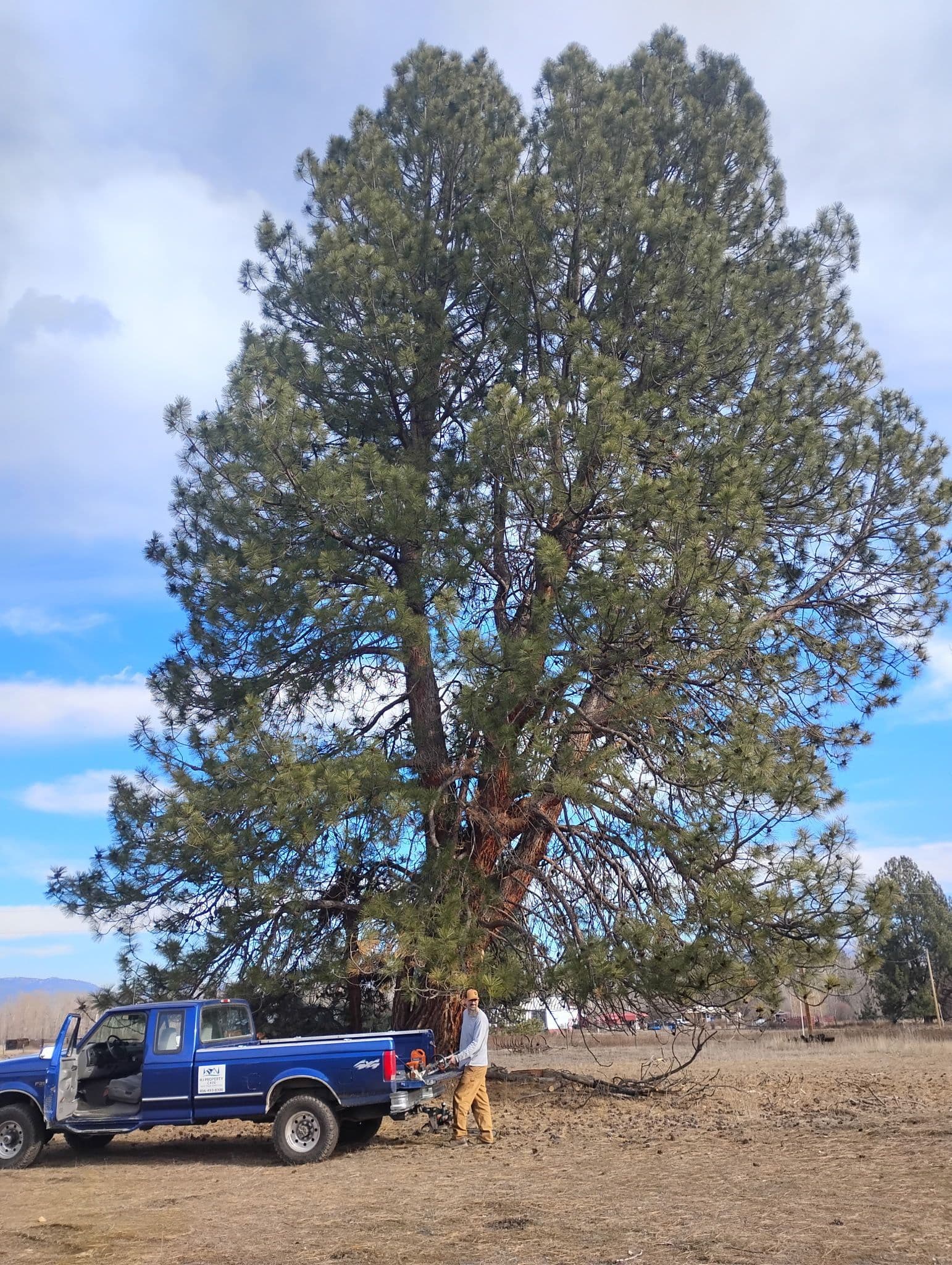
Fire mitigation in Darby, MT
Reviewed by Justin Johnson, ISA Certified Arborist (RM-8889A)
Darby is the southern end of our service area and the town closest to the national forest at the head of the valley. It also sits in the country that burned in 2000, when fires on and around the Bitterroot National Forest destroyed 70 homes. Properties up the West Fork, toward Painted Rocks and out toward Sula are more remote again. This page is part of our [Montana Wildfire Guide](/montana-wildfire-guide).
What did the 2000 fires do around Darby?
The Forest Service's account of its Hayes Creek project on the Bitterroot National Forest says that in 2000 more than 356,000 acres of national forest, state and private land burned, and 70 homes and 170 other structures were destroyed. Missoula County's 2018 wildfire plan also lists the Bitterroot Fires of 2000 among the fires that caused property losses in the region.
Ravalli County's 2024 wildfire protection plan puts that in a longer frame: more than 500,000 acres burned in the county from 2000 to 2019, and fires are increasing in size and intensity. It attributes part of that to a century of fire suppression that let fuels build up. For the full story see our Bitterroot wildfire history guide.
Which fire departments cover the Darby area?
More than anywhere else in the valley. The county plan's fire district map shows Darby City Fire, Darby Rural Fire, West Fork Rural Fire, Painted Rocks Rural Fire and Sula Rural Fire, five of the county's 14 districts. The plan says the county's departments are mainly volunteer, with seasonal wildland firefighters from the Forest Service and DNRC and mutual aid across agencies. On federal land, the Darby/Sula and West Fork ranger districts are the Forest Service units involved.
Small volunteer departments covering big, steep, timbered country cannot be everywhere in a large fire. That is the strongest argument for preparing a house to survive on its own. Our Ravalli County fire districts guide has contacts.
Why are West Fork and Painted Rocks treated as at-risk communities?
The county plan says Ravalli County has acknowledged West Fork and Painted Rocks as at-risk communities: groups of homes with basic services, next to federal land with conditions for large wildfire, where fire threatens life and property. They are not on the federal list, but the county includes them in its wildland-urban interface. Darby, Sula and Conner are on the federal list of at-risk communities.
Painted Rocks Reservoir regulates the flow of the West Fork of the Bitterroot, according to the plan. Homes up that corridor are a long way from town on one main road. For those properties, evacuation planning and a driveway an engine can use matter as much as the fuel work (see Ready, Set, Go and driveway access for fire engines).
How does Darby's terrain affect fire behavior?
The county plan describes the Bitterroot Mountains as steep, with deep glacial valleys and few foothills, and says the steep slopes favor rapid fire growth and limit fuel treatment because they are hard to reach. Elevations in the county run from about 3,000 feet on the valley floor to over 10,000 feet in the mountains. The plan notes that public land dominates the mountains to the south and west of the valley, and Darby is the town closest to them.
Homes partway up a slope with timber below are in the most exposed position, because fire runs uphill. The crown spacing that works on flat ground needs to be wider there. See slope, aspect and wind and thinning conifers for defensible space.
What does fire mitigation look like on a timbered Darby lot?
Mostly forestry, done from the house outward. The near-house zone first: needles off the roof and out of gutters, nothing burnable against the walls, no firewood on the deck (see firewood storage). Then the trees: removing ladder fuels, thinning dense Douglas-fir under older pine, limbing within ANSI A300 limits, and taking down dead or beetle-killed trees that can fall on the house or a road (see dead snags near homes).
Slash is the big issue on forested lots. A thinning job produces a lot of material, and leaving it creates the next fire's fuel. We chip on site or haul it away; burning piles is regulated and seasonal (see slash disposal options). For cabins and second homes up the forks, see our cabin wildfire prep guide.
Is there free help for Darby owners?
Yes. Fire in the Root, the collaborative the county plan names as a preparedness lead, offers a free in-person home wildfire risk assessment for Ravalli County, and Montana DNRC offers one statewide. Fire in the Root's program page lists an NRCS forest thinning cost-share that focused on the south part of the county in 2023 and ran through 2024, plus the Bitter Root RC&D hazardous fuels grants for WUI residents. Ask what is open now and see our cost-share and grants guide.
On public land, the county plan describes the Forest Service's Bitterroot Front Project from Lolo to Conner, planned to treat more than 140,000 acres on the east face of the Bitterroot Mountains. It helps most where it meets work on the private land next to it.
When can HJ do the work in Darby?
Fall is usually the best window, before the upper valley's snow settles in, with late winter and early spring as the alternative. Book in summer for fall. See our fire mitigation service and our Darby service area page, then call (406) 215-7319 or request a free estimate.
Need help in Darby, MT?
HJ Property Care & Tree Service is locally owned and ISA-certified. Call for a free estimate.
Explore our fire mitigation, or see everything we handle in Darby, MT.
Sources
We cite primary sources: Montana State University Extension, the City of Missoula, and the ISA, so you can verify anything here yourself.
- Hayes Creek Project, Bitterroot National Forest (2000 fires) (USDA Forest Service). Last checked November 2, 2026.
- Ravalli County Community Wildfire Protection Plan (January 2024; approved 20 February 2024) (Ravalli County / Montana DNRC). Last checked November 2, 2026.
- Missoula County Community Wildfire Protection Plan (February 2018 update) (Missoula County). Last checked November 2, 2026.
- Fuel Mitigation Programs and free wildfire risk assessment (Fire in the Root Council (Ravalli County)). Last checked November 2, 2026.
- Wildfire Prevention and Preparedness (free wildfire risk assessment) (Montana DNRC). Last checked November 2, 2026.
Ready to transform your outdoor space?
Get a free, no-obligation estimate within 48 hours. Locally owned and ISA-certified.