
Fire mitigation in Stevensville, MT
Reviewed by Justin Johnson, ISA Certified Arborist (RM-8889A)
In August 2024 Stevensville got a clear look at its wildfire exposure: a lightning fire west of town grew to thousands of acres and put homes along the roads toward St. Mary's under evacuation orders. Stevensville properties range from river-bottom lots to homes right against the Selway-Bitterroot Wilderness, and the fire risk is very different across that range. This page is part of our [Montana Wildfire Guide](/montana-wildfire-guide).
What happened in the Sharrott Creek Fire?
KPAX reported that the Sharrott Creek Fire was sparked by lightning on 23 August 2024 west of Stevensville, and that growth on its west side pushed it across the Selway-Bitterroot Wilderness boundary. At the update we read it had burned 2,873 acres and was 23 percent contained. Evacuation orders covered Marmot Lane and Saint Mary's Lookout Trail, with warnings for areas west of Saint Mary's Road, Salish Trail, Sharrott Hill Loop and Wankantana Way. That article reported no homes lost.
The useful lesson is how close the wilderness is. Homes on the roads named in those orders sit at the foot of terrain that nobody thins, and a fire there can burn for weeks. What decides whether those houses survive is mostly the condition of the lot itself: the roof, the first few feet, and the trees within about 100 feet (see the home ignition zone).
Why is the west side of Stevensville higher risk?
Ravalli County's 2024 wildfire protection plan describes the Bitterroot Mountains along the west side of the valley as steep, with deep glacial canyons and few foothills, and says steep slopes there favor rapid fire growth and limit fuel treatment because the terrain is hard to reach. It also notes that prevailing winds in the county generally blow from the west. A west-side home at the mouth of a canyon has steep timber upwind of it.
The Sapphire Mountains to the east have more moderate slopes and foothills, according to the same plan. Stevensville properties on the east side of the river and in the bottoms are more often surrounded by pasture, hay ground and cottonwood bottomland than by conifers, which changes the job from forest thinning to grass, brush and the near-house zone (see slope, aspect and wind).
Which fire departments cover Stevensville?
Ravalli County's plan maps both a Stevensville City Fire department and a Stevensville Rural Fire district, and also shows the Three Mile Rural Fire district in its list of the county's 14 fire districts. The plan says most departments in the county are volunteer, that mutual aid agreements are in place between all firefighting entities in the county, and that wildfires on federal land are led by the Bitterroot Interagency Dispatch Center.
Volunteer departments do a great deal with little, but they cannot put an engine at every house when a fire front reaches a subdivision. A home that can survive on its own while crews work elsewhere is the realistic goal. Our Ravalli County fire districts guide lists the districts and contacts.
Where can Stevensville owners get a free wildfire assessment?
Ravalli County's plan names the Fire in the Root Council, a local collaborative group, as a lead on preparedness alongside the Forest Service and DNRC. Fire in the Root's site offers a free in-person home wildfire risk assessment with a fire professional, and Montana DNRC offers a free wildfire risk assessment statewide in which a local fire professional contacts you to schedule a visit.
For funding, Fire in the Root lists the Bitter Root RC&D hazardous fuels treatment grants for people in the wildland-urban interface of Missoula, Mineral and Ravalli counties, and DNRC's Western Wildland Urban Interface grant program for fuel reduction on private and state land. Terms change; see our cost-share and grants guide and confirm with the administrator.
What work matters most on a west-side Stevensville lot?
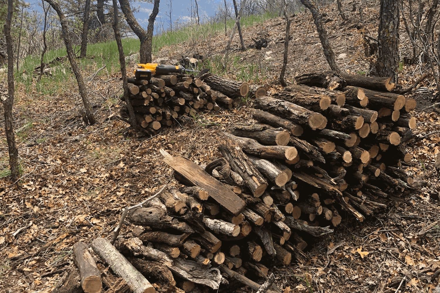
Start at the house. Clear needles from the roof and gutters, keep bark mulch, firewood and stored materials off the first five feet, and deal with anything under the deck (see Zone 0 and decks and wildfire). Then work outward through the trees: remove the small Douglas-fir crowding under older ponderosa pine, limb up within ANSI A300 limits, and thin until crowns no longer touch, with wider gaps on the slope below the house.
Many of these lots also have a long timbered drive. Limbs overhanging the drive and brush along it are worth clearing for two reasons: they are fuel along your only route out, and they slow an engine getting in. See driveway access for fire engines.
What about river-bottom and east-side properties?
The risk there is mostly grass and embers. Ravalli County's plan counts hay, pasture and crop ground as wildland fuel, and cured grass can carry fire to a barn or a house quickly. Keep a mowed or grazed strip next to buildings, keep weeds from building up along fences, and do not let the shelterbelt or windbreak grow into a continuous hedge against the house. Our guides to cheatgrass and dry grass and barns, hay and livestock cover it.
Cottonwoods along the river are a different concern. They are not a big wildfire fuel when green, but they drop heavy limbs, and we often handle storm and hazard work on them in the same visit. See hazard tree removal.
When should Stevensville work be booked?
Autumn through early spring. Ravalli County's plan puts the typical fire season at May to October, with most activity in summer. The Sharrott Creek Fire started in late August, the same window. Fuel work done in July is done in the worst conditions, with cutting equipment as a possible ignition source. Our guide to fall and winter fuel reduction explains the timing.
Our fire mitigation service covers the thinning, limbing, needle and debris cleanup and slash chipping or hauling; our Stevensville service area page lists the rest. Call (406) 215-7319 or request a free estimate.
Need help in Stevensville, MT?
HJ Property Care & Tree Service is locally owned and ISA-certified. Call for a free estimate.
Explore our fire mitigation, or see everything we handle in Stevensville, MT.
Sources
We cite primary sources: Montana State University Extension, the City of Missoula, and the ISA, so you can verify anything here yourself.
- Sharrott Creek Fire near Stevensville at 2,873 acres, 23% contained (2024) (KPAX). Last checked November 2, 2026.
- Ravalli County Community Wildfire Protection Plan (January 2024; approved 20 February 2024) (Ravalli County / Montana DNRC). Last checked November 2, 2026.
- Fuel Mitigation Programs and free wildfire risk assessment (Fire in the Root Council (Ravalli County)). Last checked November 2, 2026.
- Wildfire Prevention and Preparedness (free wildfire risk assessment) (Montana DNRC). Last checked November 2, 2026.
Ready to transform your outdoor space?
Get a free, no-obligation estimate within 48 hours. Locally owned and ISA-certified.