
Winter Storm Types in Western Montana, and What Each Does to a Property
Reviewed by Adam Hurlbert, Owner & Founder, 15+ years in landscape & property care
Western Montana does not get one kind of winter storm. It gets several, and they do very different things to a driveway, a roof line and the trees over it. The clearest descriptions come from the National Weather Service office in Missoula, whose forecasters publish an Area Forecast Discussion explaining what is coming and why. We read a sample of 45 of those discussions, one every few days from November 2024 through mid-March 2025, and pulled out the recurring patterns. Here is what each storm type looks like, how it typically plays out in the Missoula and Bitterroot valleys, and what it means for a property.
What kinds of winter storms hit western Montana?
Across that sample the NWS Missoula discussions kept returning to four setups: arctic fronts that spill cold air west over the Continental Divide, Pacific moisture surges and atmospheric rivers that bring mountain snow and valley rain, long stretches of high pressure that trap cold air in the valleys under inversions, and the messy transitions between them that produce freezing rain, freezing fog and black ice. Wind and blowing snow show up as a feature of several of them rather than a separate storm.
Each one asks for a different response. A heavy wet snow is a plowing and tree problem. An arctic outbreak is a pipes, wind chill and drifting problem. A freezing rain event is an ice problem that a plow cannot fix. Knowing which one is forecast tells you what to get ready.
What is an arctic front, and why does it matter here?
Arctic air builds east of the Continental Divide and, in some patterns, pushes west into the valleys. On 2 February 2025, NWS Missoula wrote that the arctic air would begin to affect west-central Montana the next morning, with east winds of 20 to 30 mph and rapidly falling temperatures moving west toward the Missoula Valley. A few weeks earlier, on 15 January 2025, the office forecast that an arctic front would bring the coldest temperatures of the winter, with dangerous wind chills of minus 10 to minus 20 across western Montana and minus 30 or colder along the Divide.
The forecasters are often uncertain how far west the cold gets. On 14 February 2025 they wrote that about half of ensemble models brought the arctic front to Kalispell and about 30 percent brought it as far west as Missoula. For a property, an arctic push means sudden drops below zero (the nights that split pipes), wind that drifts drives shut after they are cleared, and snow so dry it blows rather than piles. Our guide to drifting snow on rural driveways covers the wind side.
What does an atmospheric river do in a Montana winter?
An atmospheric river is a long plume of Pacific moisture. In western Montana it usually means heavy mountain snow and rain or a wintry mix in the valleys, because the air that comes with it is mild. On 19 November 2024 NWS Missoula noted that an atmospheric river would bring a lot of moisture to the mountains of central Idaho and northwest Montana, with snow levels steadily rising so that snow would be confined to higher terrain. By 22 November the key message was valley rain and mountain snow, followed by falling snow levels and winter driving conditions.
That sequence is the property risk: rain on top of existing snow, then a cold front. Wet snow and slush freeze into ruts on drives that were not cleared to the surface, roof snow gets heavy, and gutters and downspouts discharge water onto walks that refreezes overnight. We cover what heavy, wet snow does to limbs in winter tree care and snow load.
Why do inversions and fog cause so much ice?
When a ridge of high pressure parks over the region, cold air pools in the valleys and warmer air sits above it. NWS Missoula described this in November 2024 as stable conditions favoring valley inversions, fog and low stratus, and in early December 2024 as strong valley inversions with degrading air quality. On 7 December 2024 the discussion noted strong cold pools and inversions remained in the valleys across the Northern Rockies, with freezing fog in some places.
The same discussion warned drivers about shady areas where black ice could catch them off guard, adding that air temperatures could rise above freezing but black ice would still be a threat. That is the inversion hazard in a sentence. Days can feel mild, but shaded pavement and walks stay below freezing for a week at a time, and every bit of meltwater or fog deposit turns to ice there. See black ice on driveways and walks for where it forms and what to do about it.
How often does freezing rain happen in the Missoula and Bitterroot valleys?
More than people expect, usually in light amounts. The National Weather Service defines freezing rain as rain that falls as a liquid but freezes into glaze on contact with the ground. It happens when a warm layer aloft melts falling snow but the valley floor is still below freezing, which is exactly the setup when Pacific moisture arrives over an established cold pool. On 22 December 2024 NWS Missoula forecast a chance of periods of light freezing rain the next morning, primarily focused on the Bitterroot and Flathead valleys. On 3 January 2025 it explained that as a warm front approached, snow would change to mixed precipitation in the Bitterroot Valley, and an advisory was issued there.
Many of these events are forecast with low odds. On 13 December 2024 the office gave a 10 to 20 percent chance of isolated freezing rain and wrote that isolated patches of ice could pose a surprise hazard. Low odds are not no odds. A thin glaze on a walk is enough to put someone on the ground, so it is worth treating entrances when freezing rain is in the forecast at all. Our ice melt guide for Montana driveways explains which products work at which temperatures.
What is a flash freeze?
A flash freeze is a fast temperature drop that freezes standing water, slush and wet pavement in place. NWS Missoula used the term on 3 January 2025 when arctic air was forecast to undercut incoming moisture in the Flathead Valley, citing heavy snow, northeast winds to 30 mph and the potential for flash freezing of roadways as reasons for a Winter Storm Warning.
For a property, a flash freeze is the worst time to have slush left on a drive. Whatever is on the surface when the temperature drops becomes rutted ice that stays until the next thaw. If a cold front is forecast after rain or wet snow, clearing to the surface before the drop is worth more than any amount of de-icer afterward.
Do canyon and gap winds affect the valleys?
Yes, mainly when cold air moves through gaps in the terrain. On 17 February 2025 NWS Missoula wrote that winds were a question mark with a dry arctic front but that typical gaps and canyons could see gusts of 20 to 30 mph, and named spots such as MT-200 from Ovando to Lincoln and I-90 from Garrison Junction to Drummond. On 6 January 2025, behind a Pacific cold front, the office noted that even a little snow could cause more difficulty with a period of blowing and drifting snow.
Wind is what turns a modest snowfall into a long night. A drive in the open, or one oriented across the prevailing wind, can drift shut more than once in a storm. That is the kind of event our 24-hour storm response is built around: repeat passes when snow keeps coming or keeps blowing back.
Which storm type is hardest on trees?
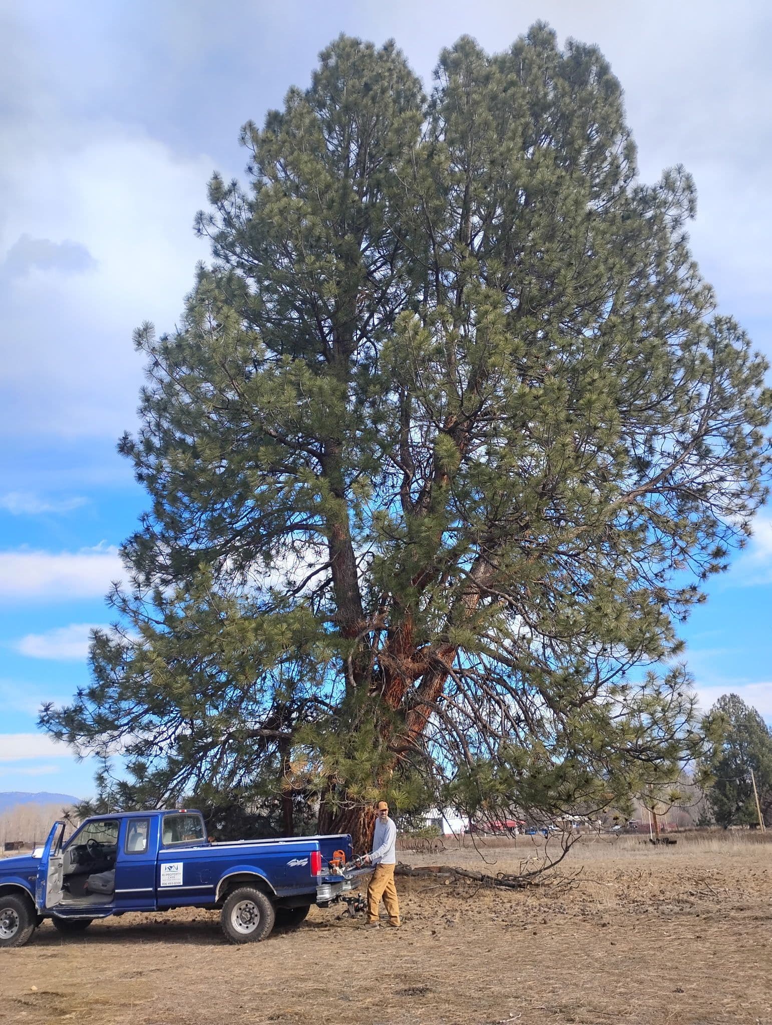
Wet snow and ice. Dry arctic snow mostly sifts through branches. Heavy snow from a mild Pacific system, or a glaze of freezing rain, adds weight that stays on limbs until it melts, and the next wind finishes off the weak ones. Broken limbs across a driveway or on a roof line are the typical result.
If a tree or limb is on or near a power line, treat it as energized, keep clear and call 911 and the utility. For anything else blocking access or resting on a structure, our emergency tree and storm response handles removal around the clock. Before the season, a tree health and risk assessment is the best way to find the limbs most likely to fail.
How do I know which storm is coming?
Read the forecast discussion, not just the icon. The NWS Missoula Area Forecast Discussion is public and explains the setup, the confidence and the expected impacts in plain terms, often with probabilities. The watches, warnings and advisories that come out of it are explained in our guide to winter weather advisories and warnings.
This guide is part of our Montana Winter Property Guide. For the long-run numbers behind these storms, see how much snow Missoula and the Bitterroot get. Call HJ Property Care & Tree Service at (406) 215-7319 or request a free estimate for winter service in Missoula and the Bitterroot Valley.
Need help?
HJ Property Care & Tree Service is locally owned and ISA-certified. Call for a free estimate.
This article is part of the Montana Winter Property Guide, our complete guide for western Montana property owners.
Explore our snow & 24-hour storm services.
Sources
We cite primary sources: Montana State University Extension, the City of Missoula, and the ISA, so you can verify anything here yourself.
- Area Forecast Discussion, 22 Nov 2024 (atmospheric river, valley rain and mountain snow) (National Weather Service Missoula, Area Forecast Discussion (Iowa Environmental Mesonet NWS text archive)). Last checked November 2, 2026.
- Area Forecast Discussion, 16 Dec 2024 (atmospheric river, freezing rain, inversions) (National Weather Service Missoula, Area Forecast Discussion (Iowa Environmental Mesonet NWS text archive)). Last checked November 2, 2026.
- Area Forecast Discussion, 1 Dec 2024 (strong valley inversions, fog, freezing rain potential) (National Weather Service Missoula, Area Forecast Discussion (Iowa Environmental Mesonet NWS text archive)). Last checked November 2, 2026.
- Area Forecast Discussion, 7 Dec 2024 (cold pools, freezing fog, black ice in shady areas) (National Weather Service Missoula, Area Forecast Discussion (Iowa Environmental Mesonet NWS text archive)). Last checked November 2, 2026.
- Area Forecast Discussion, 22 Dec 2024 (light freezing rain, Bitterroot and Flathead valleys) (National Weather Service Missoula, Area Forecast Discussion (Iowa Environmental Mesonet NWS text archive)). Last checked November 2, 2026.
- Area Forecast Discussion, 3 Jan 2025 (arctic air, flash freeze, Bitterroot mixed precipitation) (National Weather Service Missoula, Area Forecast Discussion (Iowa Environmental Mesonet NWS text archive)). Last checked November 2, 2026.
- Area Forecast Discussion, 6 Jan 2025 (blowing and drifting snow behind a Pacific cold front) (National Weather Service Missoula, Area Forecast Discussion (Iowa Environmental Mesonet NWS text archive)). Last checked November 2, 2026.
- Area Forecast Discussion, 15 Jan 2025 (arctic front, dangerous wind chills) (National Weather Service Missoula, Area Forecast Discussion (Iowa Environmental Mesonet NWS text archive)). Last checked November 2, 2026.
- Area Forecast Discussion, 2 Feb 2025 (arctic front, east winds toward the Missoula Valley) (National Weather Service Missoula, Area Forecast Discussion (Iowa Environmental Mesonet NWS text archive)). Last checked November 2, 2026.
- Area Forecast Discussion, 14 Feb 2025 (arctic air over the Divide, blowing and drifting snow) (National Weather Service Missoula, Area Forecast Discussion (Iowa Environmental Mesonet NWS text archive)). Last checked November 2, 2026.
- Area Forecast Discussion, 17 Feb 2025 (gap winds in canyons) (National Weather Service Missoula, Area Forecast Discussion (Iowa Environmental Mesonet NWS text archive)). Last checked November 2, 2026.
- Area Forecast Discussion, 19 Nov 2024 (atmospheric river, rising snow levels) (National Weather Service Missoula, Area Forecast Discussion (Iowa Environmental Mesonet NWS text archive)). Last checked November 2, 2026.
- Area Forecast Discussion, 13 Dec 2024 (low chance of isolated freezing rain) (National Weather Service Missoula, Area Forecast Discussion (Iowa Environmental Mesonet NWS text archive)). Last checked November 2, 2026.
- Area Forecast Discussion, 7 Nov 2024 (ridge, valley inversions, fog and stratus) (National Weather Service Missoula, Area Forecast Discussion (Iowa Environmental Mesonet NWS text archive)). Last checked November 2, 2026.
- NWS Glossary: freezing rain (National Weather Service). Last checked November 2, 2026.
Ready to transform your outdoor space?
Get a free, no-obligation estimate within 48 hours. Locally owned and ISA-certified.